Friday 28 November 2014

Bears about

Evidence of bear activity - digging for a bees nest

Mother and cub bears have been sighted this month in the vicinity of our gauging station. Today we saw evidence of bears for ourselves - digging under the cedar trees for what looked like a bees nest. It's the first time in 15 years of visiting this site that I've seen evidence of bears. This year there have been many incidents of bears coming down to villages and low elevations looking for food.

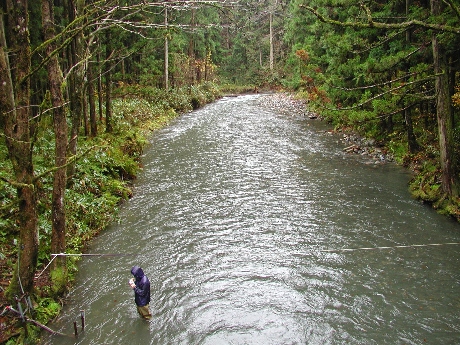
We carried out the usual discharge measurement and also explored some new locations in the tributary basin for potential snow survey sites, taking care to make enough noise to scare any bears away!


Friday 14 November 2014

Bedload sediment in action

Stage = 0.6m, Q = 3.37m3/s, marginal bedload movement visible

During today's discharge measurement, peak flow velocities reached about 0.9m/s, and the abundant supply of loose fine gravel on the stream bed was clearly moving in small jumps and bursts. We can assume flow conditions were close to the threshold of motion for bedload sediment. However, suspended sediment levels were low enough that the stream bed could be seen clearly.

We are now into the season of autumn rains where the frequency of rainy days increases, temperatures are dropping, and the soil water and groundwater storage levels are on the rise. This leads to a rise in the baseflow level of the river in between the peaks on the hydrograph. Not until we move into January and rainfall changes to mostly snowfall will the baseflow level begin to fall significantly.


Wednesday 5 November 2014

Washigasu Mountain

Washigasu Yama (1093m) from Maegadake (825m). The peak is still about 3km distant along the ridge.

Today was a team-building exercise to hike Washigasu Mountain, located just to the south of the Takiya River basin. A second objective was to take photos of the mountains and ridges of the Takiya River basin. The mountain name "Washigasu" means "Eagle's Nest", and the mountain is worthy of the name, being the highest peak (1093m) on a jagged ridge-line that rises steeply above the Miomote River. The total hike of 11.5km took us 8 hours on an arduous up-down and overgrown trail (ascent/descent 1675m).


Rising above Miomote Dam, the southern ridge-line of the Takiya basin (640m to 836m)

To the east, Asahi Mountain Range with fresh autumn snow (1870m)

Left centre is the upper Takiya basin (max. elev. 954m). Snowy Mt. Chokai (2230m) visible on the left horizon.

Rising above Miomote Dam, the southern ridge-line of the Takiya basin (640m to 836m)

Asahi Mountain Range from Nakagadake (1004m)

Nakagadake summit (1004m)

Miomote River and Miomote Dam are to the right

Summit of Washigasu Yama (1093m)

Summit of Washigasu Yama (1093m)

To the south, Iide Mountain Range (2100m) from Washigasu Yama

To the southwest, Niigata coastal plain stretches from Murakami to Yahiko

Our return route over Nakagadake (1004m) and Maegadake (825m) with lower Miomote River behind